Exploring the vibrant Festivals
15 February, 2024
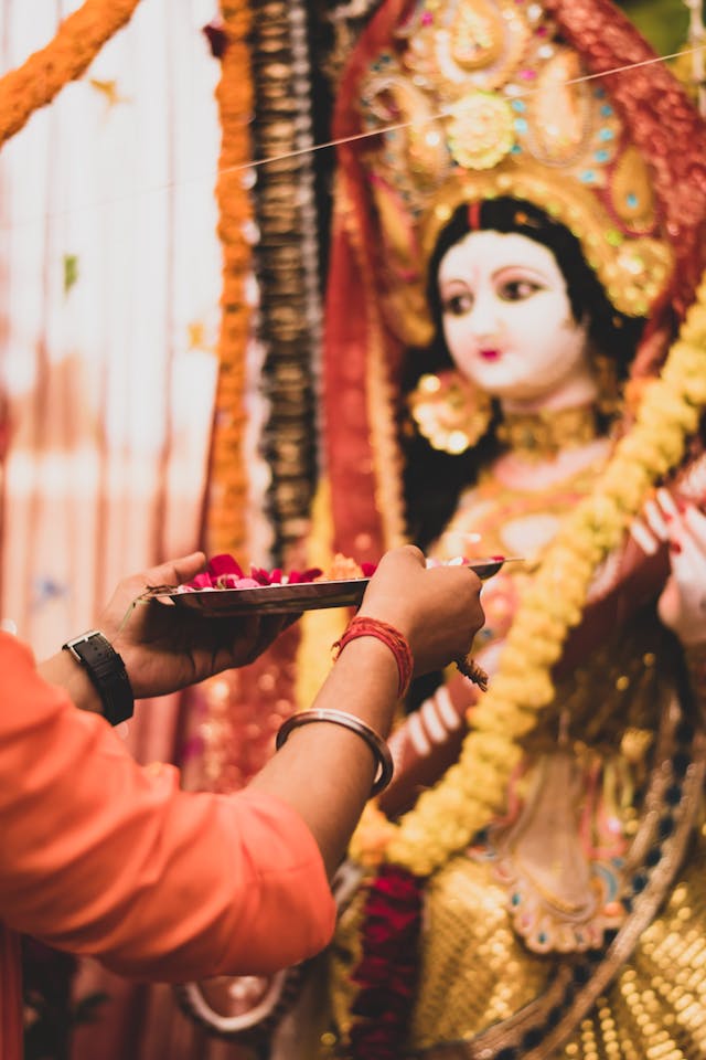
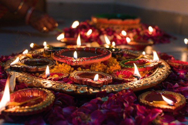
The North Eastern states, each with their unique cultural identities, offer a kaleidoscope of festivals that are as vibrant and diverse as the landscapes they are celebrated in. From the Bihu of Assam, which marks…